 |
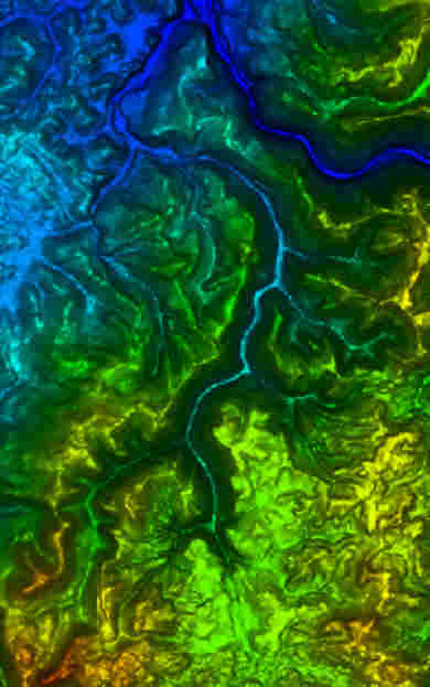
This is a Digital Elevation
Model Map of the Dunbar Creek watershed. It was
generated from data available at the USGS web
site, using the USGS DLG-Viewer-3.5 program. The
stream system in the center of the image flowing
upward, is Dunbar Creek, and its tributaries. The
Dark blue path in the upper right hand corner, is
the Youghiogheny River, flowing to the north
west. The area covered by the map is South
Connellsville Pa at the north west corner, to
Chestnut Ridge summit above Uniontown PA. at the
south west corner. The area displayed is about
8.7 miles NS by 5.4 miles EW. |

